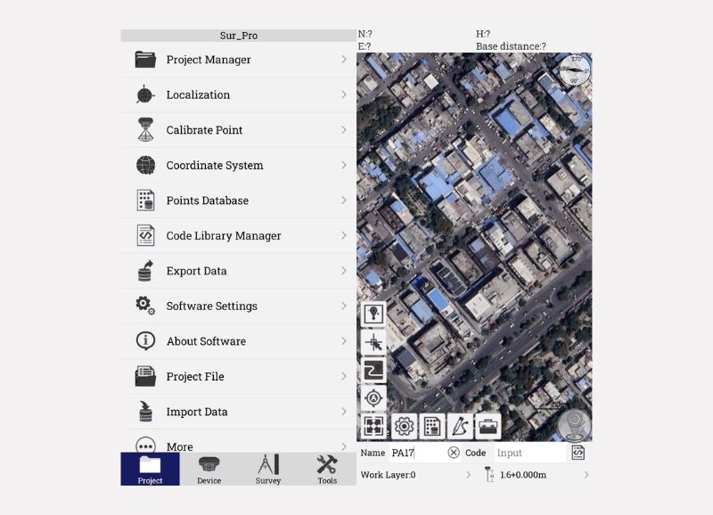
Sur_Pro is a powerful, intuitive GNSS survey software designed for modern surveyors to streamline fieldwork, enhance accuracy, and simplify complex geospatial tasks. Whether you’re working on construction layouts, boundary surveys, or GIS data collection, Sur_Pro provides a complete toolbox in one interface.
Key Features:
- Android Platform & OTA Updates
- Advanced Stakeout Tools
- Custom Coordinate Systems
- 3D & COGO Functions
- Effortless Data Sharing
- High Precision Survey Modes
- Multi-Map Support
- Field CAD Integration